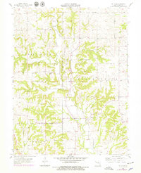
1957 Map of Millville
USGS Topo · Published 1979About this map
Millville serves as a primary settlement point on this Missouri landscape, situated near the meandering path of the East Fork Crooked River. The map reveals a rural community structure defined by its scattered small townships like Taitsville and Georgeville, and a dense network of family-centered history. This local heritage is etched across the terrain in numerous small burial grounds, including the Petty Cem, Silar Cem, and Gillum Cem. These sites, along with rural congregations at Antioch Ch. and St Paul Chapel, suggest a mid-century social landscape still deeply tied to small-scale farming and the drainage systems of Mud Creek and Cottonwood Branch. The map reflects a period of transition, with 1957 field data updated by 1977 aerial photography to show subtle changes in the Knoxville, Grape Grove, and Richmond townships.
Find a feature on this map
16 named features on this map. Tap any name to fly to it.
Don’t see what you’re looking for? This feature index may not catch every label — zoom into the map to look around manually.
Map Details
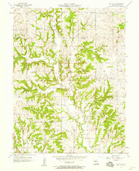
Editions of this 1957 Millville Map
2 editions found
Other maps of this area

1889 · Lexington
USGS Topo · 1:125,000

1894 · Independence
USGS Topo · 1:125,000

1924 · Polo
USGS Topo · 1:62,500

1924 · Braymer
USGS Topo · 1:62,500

1950 · Kansas City
USGS Topo · 1:250,000

1953 · Moberly
USGS Topo · 1:250,000

1954 · Kansas City
USGS Topo · 1:250,000

1954 · Moberly
USGS Topo · 1:250,000

1956 · Kansas City
USGS Topo · 1:250,000

1957 · Moberly
USGS Topo · 1:250,000