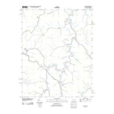
2010 Map of Milo
USGS Topo · Published 2010About this map
Rockcastle Creek carves a winding path through this corner of Martin County, where small settlements like Milo and Job are positioned along its banks. The landscape is defined by a dense network of hollows and branches, including Crestley Hollow and Buffalo Horn Branch, which have historically dictated the placement of roads and homesteads. Local history is anchored by sites such as the Stidham Post Office and the Castle School, reflecting the community's rural infrastructure in the early 21st century.
Find a feature on this map
84 named features on this map. Tap any name to fly to it.
Don’t see what you’re looking for? This feature index may not catch every label — zoom into the map to look around manually.
Map Details
Editions of this 2010 Milo Map
This is the sole edition of this map. No revisions or reprints were ever made.
Other maps of this area

1886 · Prestonsburg
USGS Topo · 1:125,000

1887 · Warfield
USGS Topo · 1:125,000

1891 · Warfield
USGS Topo · 1:125,000

1892 · Prestonsburg
USGS Topo · 1:125,000

1892 · Huntington
USGS Topo · 1:125,000

1898 · Huntington
USGS Topo · 1:125,000

1903 · Kenova
USGS Topo · 1:125,000

1904 · Kenova
USGS Topo · 1:125,000
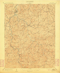
1909 · Wayne
USGS Topo · 1:62,500
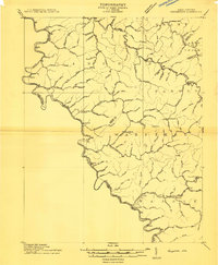
1910 · Naugatuck
USGS Topo · 1:48,000