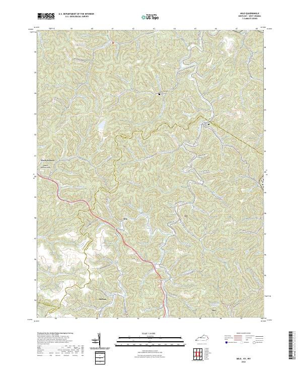
2022 Map of Milo
USGS Topo · Published 2022About this map
Milo and the neighboring settlements of Inez and Stidham occupy a landscape defined by the convergence of the Lawrence, Martin, and Johnson county lines. The geography is characterized by intricate dendritic drainage patterns, where local life follows the courses of waterways like Rockhouse Fork and Fannins Br. Notable landmarks including the Castle School and the Hammond Cem provide specific points of interest for those researching the social and educational fabric of these mountain communities.
Find a feature on this map
110 named features on this map. Tap any name to fly to it.
Don’t see what you’re looking for? This feature index may not catch every label — zoom into the map to look around manually.
Map Details
Editions of this 2022 Milo Map
This is the sole edition of this map. No revisions or reprints were ever made.
Other maps of this area

1886 · Prestonsburg
USGS Topo · 1:125,000

1887 · Warfield
USGS Topo · 1:125,000

1891 · Warfield
USGS Topo · 1:125,000

1892 · Prestonsburg
USGS Topo · 1:125,000

1892 · Huntington
USGS Topo · 1:125,000

1898 · Huntington
USGS Topo · 1:125,000

1903 · Kenova
USGS Topo · 1:125,000

1904 · Kenova
USGS Topo · 1:125,000

1909 · Wayne
USGS Topo · 1:62,500

1910 · Naugatuck
USGS Topo · 1:48,000