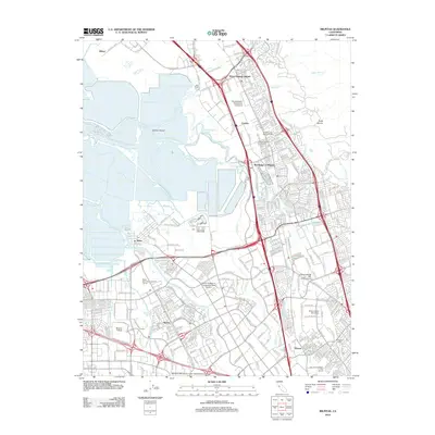
2012 Map of Milpitas
USGS Topo · Published 2012About this map
Station Island and the complex tidal landscape of North Coyote Slough define the northern reaches of this South Bay corridor, where natural watercourses meet a heavily developed urban environment. The map details the transition from the marshy edges of Alviso Slough and Mud Slough to the expanding industrial and residential districts of the early 21st century. Highlighting the intersection of tech and tradition, the survey identifies several academic institutions including Mission College and Northwestern Polytechnic University, alongside long-established landmarks like the Cedar Lawn Memorial Cem.
Find a feature on this map
266 named features on this map. Tap any name to fly to it.
Don’t see what you’re looking for? This feature index may not catch every label — zoom into the map to look around manually.
Map Details
Editions of this 2012 Milpitas Map
This is the sole edition of this map. No revisions or reprints were ever made.
Other maps of this area

1889 · San Jose
USGS Topo · 1:62,500

1897 · San Jose
USGS Topo · 1:62,500

1897 · Palo Alto
USGS Topo · 1:62,500

1899 · San Jose
USGS Topo · 1:62,500

1899 · Palo Alto
USGS Topo · 1:62,500

1899 · Haywards
USGS Topo · 1:62,500

1902 · Santa Cruz
USGS Topo · 1:125,000

1906 · Pleasanton
USGS Topo · 1:62,500

1915 · Haywards
USGS Topo · 1:62,500

1941 · Pleasanton
USGS Topo · 1:62,500