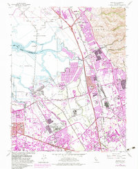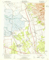
1953 Map of Milpitas
USGS Topo · Published 1955About this map
The salt marshes and sprawling ranchos of the South Bay define this mid-century landscape, where the transition from agricultural land to suburban development is underway. Salt evaporators dominate the northwestern shoreline near the remote settlement of Drawbridge, while the Southern Pacific Railroad and Western Pacific Railroad carve transit corridors through the valley floor. Large-scale institutional land use is prominent, notably the extensive grounds of Agnew State Hospital and the smaller Santa Clara Valley Airport near Agnew.
Find a feature on this map
53 named features on this map. Tap any name to fly to it.
Don’t see what you’re looking for? This feature index may not catch every label — zoom into the map to look around manually.
Map Details
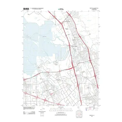
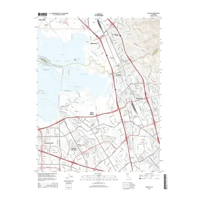
Editions of this 1953 Milpitas Map
This is the sole edition of this map. No revisions or reprints were ever made.
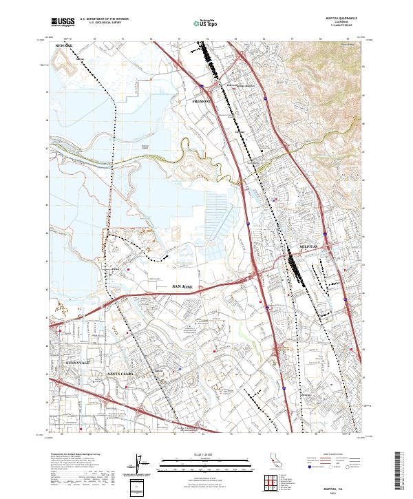
Historical Maps of San Jose Through Time
6 maps found