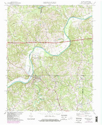
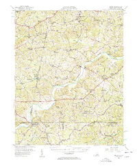
1968 Map of Milton
USGS Topo · Published 1984About this map
The Dan River carves a winding path across the border of Virginia and North Carolina, defining the landscape of this rural corridor in the late 1960s. The settlement of Milton sits just south of the state line, serving as a focal point for the surrounding agricultural communities of Semora and Estelle. North of the river, the Southern railroad tracks parallel the water near Sutherlin, where the Sutherlin Millpond marks an area of earlier industrial activity.
Find a feature on this map
37 named features on this map. Tap any name to fly to it.
Don’t see what you’re looking for? This feature index may not catch every label — zoom into the map to look around manually.
Map Details
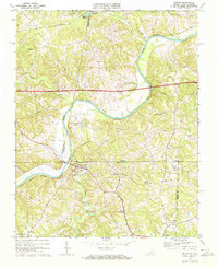
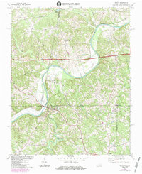
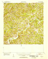
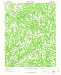
Editions of this 1968 Milton Map
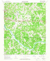
Other maps of this area

1923 · Danville
USGS Topo · 1:48,000

1925 · Danville
USGS Topo · 1:62,500
1952 · Milton
USGS Topo · 1:62,500

1953 · Greensboro
USGS Topo · 1:250,000

1954 · Greensboro
USGS Topo · 1:250,000
1956 · Milton
USGS Topo · 1:62,500

1962 · Greensboro
USGS Topo · 1:250,000
1964 · Blairs
USGS Topo · 1:24,000
1965 · Ringgold
USGS Topo · 1:24,000

1966 · Greensboro
USGS Topo · 1:250,000