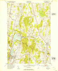
1948 Map of Milton
USGS Topo · Published 1953About this map
The Lamoille River bisects this late-1940s landscape, winding through the boundary of Franklin and Chittenden counties. The village of Milton serves as a southern anchor, while the Central Vermont Railway and the Ethan Allen Highway provide the primary north-south transit corridors, connecting smaller clusters like Georgia Center and Oakland. Education and community life are marked by rural landmarks such as School No 14, School No 6, and the Bellows Free Academy in Fairfax.
Find a feature on this map
35 named features on this map. Tap any name to fly to it.
Don’t see what you’re looking for? This feature index may not catch every label — zoom into the map to look around manually.
Map Details
Editions of this 1948 Milton Map
5 editions found
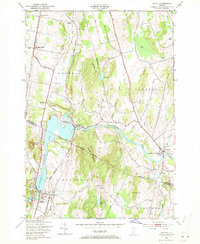


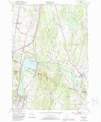
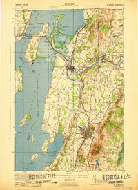
Other maps of this area

1913 · Milton
USGS Topo · 1:48,000

1914 · St. Albans
USGS Topo · 1:48,000

1915 · Milton
USGS Topo · 1:62,500

1916 · St. Albans
USGS Topo · 1:62,500

1920 · Franklin Pond
USGS Topo · 1:62,500

1922 · Enosburg Falls
USGS Topo · 1:48,000

1924 · Enosburg Falls
USGS Topo · 1:62,500

1925 · Mount Mansfield
USGS Topo · 1:48,000

1927 · Mount Mansfield
USGS Topo · 1:62,500
1943 · St. Albans
USGS Topo · 1:62,500