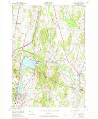
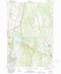
1948 Map of Milton
USGS Topo · Published 1973About this map
Arrowhead Mountain Lake dominates this mid-century Vermont landscape, formed by the winding Lamoille River as it passes through the valley. The settlement of Milton serves as a hub near the southern shore, while East Georgia and Georgia Center represent the agricultural and residential clusters to the north. The presence of the Central Vermont railroad line following the corridor of the Ethan Allen Highway highlights the historical importance of this transport route between regional centers.
Find a feature on this map
36 named features on this map. Tap any name to fly to it.
Don’t see what you’re looking for? This feature index may not catch every label — zoom into the map to look around manually.
Map Details
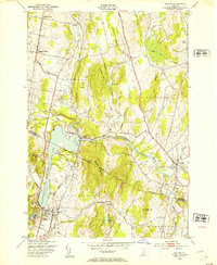
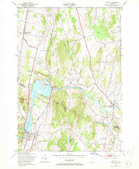
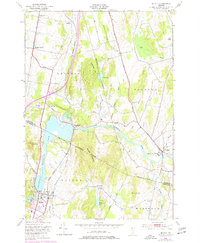
Editions of this 1948 Milton Map
5 editions found
Other maps of this area

1913 · Milton
USGS Topo · 1:48,000

1914 · St. Albans
USGS Topo · 1:48,000

1915 · Milton
USGS Topo · 1:62,500

1916 · St. Albans
USGS Topo · 1:62,500

1920 · Franklin Pond
USGS Topo · 1:62,500

1922 · Enosburg Falls
USGS Topo · 1:48,000

1924 · Enosburg Falls
USGS Topo · 1:62,500

1925 · Mount Mansfield
USGS Topo · 1:48,000

1927 · Mount Mansfield
USGS Topo · 1:62,500

1943 · St. Albans
USGS Topo · 1:62,500