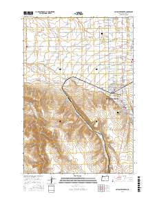
2017 Map of Milton-Freewater
USGS Topo · Published 2017About this map
The Milton-Freewater hub and its surrounding agricultural satellite communities define this portion of the Walla Walla Valley. This modern survey illustrates a complex landscape of water management and rural settlement, where historic irrigation works like the Hudson Bay Canal, Pleasant View Canal, and Milton Ditch support the region's productive orchards and fields. Smaller named locales such as Ferndale, Sunnyside, Cobb, and Crockett are threaded along the various forks of the Walla Walla River, demonstrating the density of the valley's late 20th and early 21st-century rural development. To the south, the terrain shifts abruptly from the irrigated valley floor into the steep draws of Dry Hollow and Nichols Canyon, revealing the stark contrast between the managed river corridor and the high basalt plateau edges. Aviation history is noted by the presence of King's Airport and the Oregon Sky Ranch Airport.
Find a feature on this map
76 named features on this map. Tap any name to fly to it.
Don’t see what you’re looking for? This feature index may not catch every label — zoom into the map to look around manually.
Map Details
Editions of this 2017 Milton-Freewater Map
This is the sole edition of this map. No revisions or reprints were ever made.
Other maps of this area

1915 · Wallulah
USGS Topo · 1:96,000

1918 · Wallula
USGS Topo · 1:125,000

1919 · Walla Walla
USGS Topo · 1:125,000

1921 · Walla Walla
USGS Topo · 1:125,000

1935 · Pendleton
USGS Topo · 1:125,000

1953 · Pendleton
USGS Topo · 1:250,000

1953 · Walla Walla
USGS Topo · 1:250,000

1956 · Pendleton
USGS Topo · 1:250,000

1958 · Walla Walla
USGS Topo · 1:250,000

1964 · Milton-Freewater
USGS Topo · 1:24,000