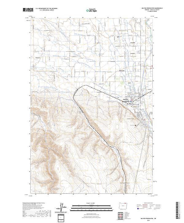
2023 Map of Milton-Freewater
USGS Topo · Published 2023About this map
The Milton-Freewater area of the Walla Walla Valley reveals a complex landscape of irrigation and agriculture. A dense network of engineered waterways, including the Hudson Bay Canal, Milton Ditch, and Pleasant View Canal, crisscrosses the terrain, feeding orchards and fields between the Walla Walla River and its numerous branches. The residential character of the region is defined by several distinct community clusters such as Ferndale, Sunnyside, and Columbia Heights, alongside smaller hubs like Umapine and Crockett.
Find a feature on this map
106 named features on this map. Tap any name to fly to it.
Don’t see what you’re looking for? This feature index may not catch every label — zoom into the map to look around manually.
Map Details
Editions of this 2023 Milton-Freewater Map
This is the sole edition of this map. No revisions or reprints were ever made.
Other maps of this area

1915 · Wallulah
USGS Topo · 1:96,000

1918 · Wallula
USGS Topo · 1:125,000

1919 · Walla Walla
USGS Topo · 1:125,000

1921 · Walla Walla
USGS Topo · 1:125,000

1935 · Pendleton
USGS Topo · 1:125,000

1953 · Pendleton
USGS Topo · 1:250,000

1953 · Walla Walla
USGS Topo · 1:250,000

1956 · Pendleton
USGS Topo · 1:250,000

1958 · Walla Walla
USGS Topo · 1:250,000

1964 · Milton-Freewater
USGS Topo · 1:24,000