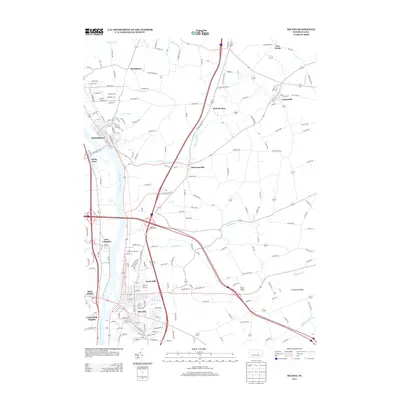
2013 Map of Milton
USGS Topo · Published 2013About this map
The W Br Susquehanna River defines the western edge of this region, where the borough of Milton serves as a primary hub for commerce and transportation. The river corridor links several riverfront communities, from West Milton and New Columbia in the south to the established grid of Watsontown further north. Inland from the river, the landscape transitions into agricultural valleys and ridges, most notably Limestone Ridge and the Milton Fairgrounds.
Find a feature on this map
201 named features on this map. Tap any name to fly to it.
Don’t see what you’re looking for? This feature index may not catch every label — zoom into the map to look around manually.
Map Details
Editions of this 2013 Milton Map
This is the sole edition of this map. No revisions or reprints were ever made.
Other maps of this area

1892 · Shamokin
USGS Topo · 1:62,500

1893 · Sunbury
USGS Topo · 1:62,500

1893 · Shamokin
USGS Topo · 1:62,500

1924 · Milton
USGS Topo · 1:62,500

1935 · Hughesville
USGS Topo · 1:62,500

1943 · Shamokin
USGS Topo · 1:62,500

1943 · Sunbury
USGS Topo · 1:62,500

1950 · Harrisburg
USGS Topo · 1:250,000

1952 · Shamokin
USGS Topo · 1:62,500

1953 · Hughesville
USGS Topo · 1:62,500