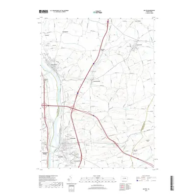
2019 Map of Milton
USGS Topo · Published 2019About this map
The West Branch Susquehanna River serves as the primary corridor for this region, separating White Deer on the western bank from the larger borough of Milton. The landscape is a mix of urban density and agrarian outskirts, where the river's path is joined by numerous tributaries such as Warrior Run and Limestone Run. The distribution of burial grounds throughout the area, including Saint Josephs Cem and Grandview Cem, reflects the long-standing community centers established during the region's development.
Find a feature on this map
192 named features on this map. Tap any name to fly to it.
Don’t see what you’re looking for? This feature index may not catch every label — zoom into the map to look around manually.
Map Details
Editions of this 2019 Milton Map
This is the sole edition of this map. No revisions or reprints were ever made.
Other maps of this area

1892 · Shamokin
USGS Topo · 1:62,500

1893 · Sunbury
USGS Topo · 1:62,500

1893 · Shamokin
USGS Topo · 1:62,500

1924 · Milton
USGS Topo · 1:62,500

1935 · Hughesville
USGS Topo · 1:62,500

1943 · Shamokin
USGS Topo · 1:62,500

1943 · Sunbury
USGS Topo · 1:62,500

1950 · Harrisburg
USGS Topo · 1:250,000

1952 · Shamokin
USGS Topo · 1:62,500

1953 · Hughesville
USGS Topo · 1:62,500