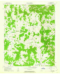
1962 Map of Milton
USGS Topo · Published 1963About this map
Milton sits at the convergence of local drainage ways in the early 1960s, serving as a central point in a landscape defined by the intersection of Rutherford, Wilson, and Cannon counties. The area is characterized by a high density of small rural congregations and family-named landmarks, such as Bradley Creek Missionary Ch and Gloriana Ch. A distinctive mapping feature of this edition is the use of fine red dashed lines to denote selected fence and field lines, offering researchers a rare look at the mid-century agricultural divisions between Bradley and Cainsville. Further south, the terrain descends toward the East Fork Stones River, where Porterfield and the Trimble Ch mark the southern extent of this highland border region. The prevalence of small family plots and community grounds like Gaines Cem and Cook Cem provides significant detail for those tracing local lineages.
Find a feature on this map
36 named features on this map. Tap any name to fly to it.
Don’t see what you’re looking for? This feature index may not catch every label — zoom into the map to look around manually.
Map Details
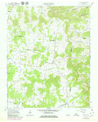
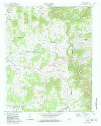
Editions of this 1962 Milton Map
3 editions found
Other maps of this area

1908 · Woodbury
USGS Topo · 1:62,500

1916 · Murfreesboro
USGS Topo · 1:62,500

1942 · Statesville
USGS Topo · 1:100,000

1942 · Lebanon
USGS Topo · 1:100,000

1956 · Vine
USGS Topo · 1:24,000

1956 · Dillton
USGS Topo · 1:24,000

1956 · Columbia
USGS Topo · 1:250,000

1956 · Nashville
USGS Topo · 1:250,000
1957 · Lascassas
USGS Topo · 1:24,000

1958 · Watertown
USGS Topo · 1:24,000