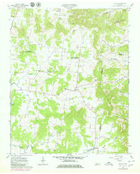
1962 Map of Milton
USGS Topo · Published 1980About this map
Milton and the surrounding rural landscape sit at the meeting point of Wilson, Rutherford, and Cannon Counties during the early 1960s. This agricultural region is defined by a series of high knobs, including Lawrence Knob and Fisher Knob, which overlook a network of creek bottoms and small settlements. The area shows a high density of community centers, from the post-war development in Bradley to the established Gaines Cem and Milton Cem.
Find a feature on this map
37 named features on this map. Tap any name to fly to it.
Don’t see what you’re looking for? This feature index may not catch every label — zoom into the map to look around manually.
Map Details
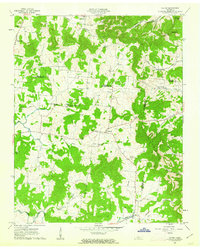
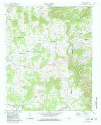
Editions of this 1962 Milton Map
3 editions found
Other maps of this area

1908 · Woodbury
USGS Topo · 1:62,500

1916 · Murfreesboro
USGS Topo · 1:62,500

1942 · Statesville
USGS Topo · 1:100,000

1942 · Lebanon
USGS Topo · 1:100,000

1956 · Vine
USGS Topo · 1:24,000

1956 · Dillton
USGS Topo · 1:24,000

1956 · Columbia
USGS Topo · 1:250,000

1956 · Nashville
USGS Topo · 1:250,000
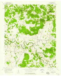
1957 · Lascassas
USGS Topo · 1:24,000

1958 · Watertown
USGS Topo · 1:24,000