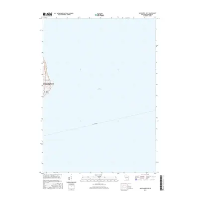
2016 Map of Milwaukee OE E
USGS Topo · Published 2016About this map
Milwaukee occupies the western edge of this map, which focuses primarily on the vast waters of Lake Michigan. The shoreline is anchored by North Point, where residential streets like N Lake Dr, N Wahl Ave, and N Marietta Ave follow the high ground overlooking the lake. The map illustrates a contemporary maritime corridor, specifically highlighting the path of the Lake Express Ferry as it strikes out across the water. This 2016 survey captures the precise intersection of urban infrastructure and the Great Lakes' nautical transit routes, providing a clear record of the city's lakefront geometry and the modern ferry connection used by locals and travelers alike.
Find a feature on this map
8 named features on this map. Tap any name to fly to it.
Don’t see what you’re looking for? This feature index may not catch every label — zoom into the map to look around manually.
Map Details
Editions of this 2016 Milwaukee OE E Map
This is the sole edition of this map. No revisions or reprints were ever made.
Other maps of this area

1891 · Bayview
USGS Topo · 1:62,500

1892 · Milwaukee
USGS Topo · 1:62,500

1901 · Milwaukee
USGS Topo · 1:62,500

1901 · Bayview
USGS Topo · 1:62,500

1906 · Milwaukee
USGS Topo · 1:62,500

1954 · Milwaukee
USGS Topo · 1:250,000

1958 · Milwaukee
USGS Topo · 1:250,000
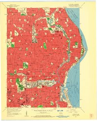
1958 · Milwaukee
USGS Topo · 1:24,000
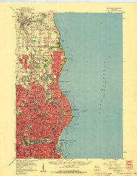
1958 · Milwaukee
USGS Topo · 1:62,500
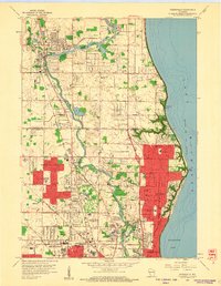
1958 · Thiensville
USGS Topo · 1:24,000