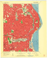
1958 Map of Milwaukee
USGS Topo · Published 1960About this map
Milwaukee’s mid-century urban landscape is defined by the heavy industrial and transport corridor of the Menomonee River valley, where extensive rail yards for the Chicago Milwaukee St Paul and Pacific and Chicago and North Western railroads intersect. This era finds the city at its peak industrial density, before major freeway construction altered the neighborhoods surrounding Marquette University and the downtown Courthouse. The map captures the city's complex social fabric through its dense concentration of parochial schools and institutions, such as Divine Savior High Sch, St Joseph Sch, and the Sacred Heart Sanitarium. Along the Lake Michigan shoreline, Jones Island is shown with its massive Sewage Disposal plant and Oil Tanks, while residential expansion pushes into Glendale and Whitefish Bay. Major landmarks like County Stadium and Washington Park stand as significant recreational anchors in the bustling city grid.
Find a feature on this map
223 named features on this map. Tap any name to fly to it.
Don’t see what you’re looking for? This feature index may not catch every label — zoom into the map to look around manually.
Map Details
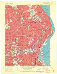
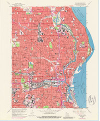
Editions of this 1958 Milwaukee Map
3 editions found
Other maps of this area

1891 · Bayview
USGS Topo · 1:62,500

1891 · Muskego
USGS Topo · 1:62,500

1892 · Milwaukee
USGS Topo · 1:62,500

1892 · Waukesha
USGS Topo · 1:62,500

1901 · Milwaukee
USGS Topo · 1:62,500

1901 · Waukesha
USGS Topo · 1:62,500

1901 · Bayview
USGS Topo · 1:62,500

1901 · Muskego
USGS Topo · 1:62,500

1906 · Waukesha
USGS Topo · 1:62,500

1906 · Milwaukee
USGS Topo · 1:62,500