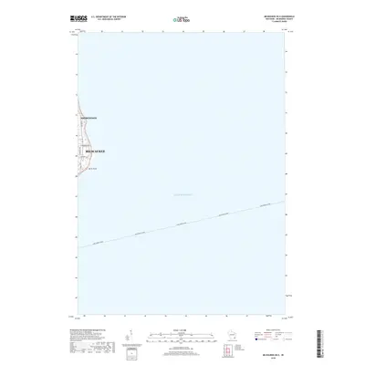
2018 Map of Milwaukee OE E
USGS Topo · Published 2018About this map
Lake Michigan dominates this coastal survey, where the urban eastern edge of Milwaukee and Shorewood meets the shoreline. The land is concentrated along a narrow strip on the western margin, defined by the residential and institutional corridor around North Point. Notable thoroughfares like N Lake Dr and E Kenwood Blvd anchor the local street grid, providing a clear view of the city's interface with the water just before the turn of the decade. A significant maritime connection is documented by the path of the Lake Express Ferry, which cuts a straight line across the open water toward the eastern horizon. This representation highlights the importance of the ferry link as a modern continuation of the region's long-standing naval and transit history.
Find a feature on this map
10 named features on this map. Tap any name to fly to it.
Don’t see what you’re looking for? This feature index may not catch every label — zoom into the map to look around manually.
Map Details
Editions of this 2018 Milwaukee OE E Map
This is the sole edition of this map. No revisions or reprints were ever made.
Other maps of this area

1891 · Bayview
USGS Topo · 1:62,500

1892 · Milwaukee
USGS Topo · 1:62,500

1901 · Milwaukee
USGS Topo · 1:62,500

1901 · Bayview
USGS Topo · 1:62,500

1906 · Milwaukee
USGS Topo · 1:62,500

1954 · Milwaukee
USGS Topo · 1:250,000

1958 · Milwaukee
USGS Topo · 1:250,000
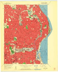
1958 · Milwaukee
USGS Topo · 1:24,000
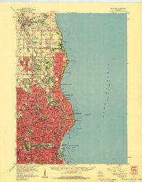
1958 · Milwaukee
USGS Topo · 1:62,500
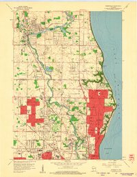
1958 · Thiensville
USGS Topo · 1:24,000