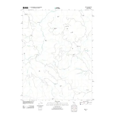
2012 Map of Mina
USGS Topo · Published 2012About this map
Mina and the northern Mendocino highlands are defined by the deep incisions of the N Fork Eel River and its intricate drainage network. This area, largely remote and topographically complex, features scattered points of human presence such as the Lake Mountain Community Hall and the Delmonico Place. The landscape is a mosaic of high peaks like Wildhorse Peak and Little Baldy, interspersed with high-elevation basins such as Summit Valley and Wylettie Flat.
Find a feature on this map
45 named features on this map. Tap any name to fly to it.
Don’t see what you’re looking for? This feature index may not catch every label — zoom into the map to look around manually.
Map Details
Editions of this 2012 Mina Map
This is the sole edition of this map. No revisions or reprints were ever made.
Other maps of this area
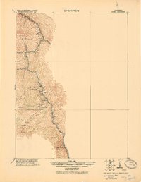
1920 · Covelo
USGS Topo · 1:62,500
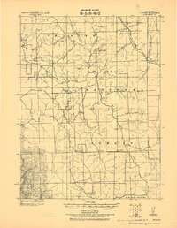
1921 · Hoaglin
USGS Topo · 1:62,500
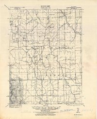
1922 · Island Mountain
USGS Topo · 1:62,500
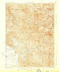
1926 · Covelo
USGS Topo · 1:62,500
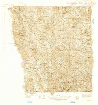
1931 · Hoaglin
USGS Topo · 1:96,000
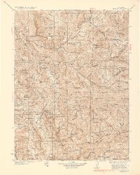
1935 · Hoaglin
USGS Topo · 1:125,000
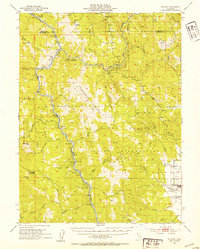
1952 · Spyrock
USGS Topo · 1:62,500
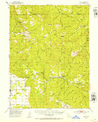
1952 · Covelo
USGS Topo · 1:62,500
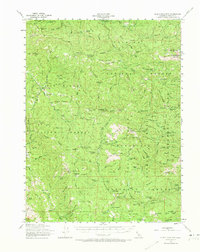
1953 · Blackrock Mtn
USGS Topo · 1:62,500
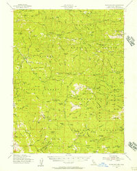
1954 · Blackrock Mtn
USGS Topo · 1:62,500