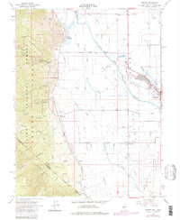
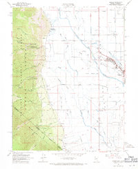
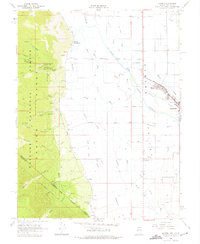
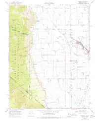
1968 Map of Minden
USGS Topo · Published 1983About this map
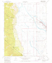
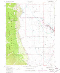
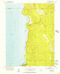
Minden and Gardnerville anchor the eastern edge of this Carson Valley survey, revealing a landscape defined by an intricate network of irrigation and drainage. The West Fork Carson River and East Fork Carson River converge amidst a system of named sloughs, including Williams Slough, Brockliss Slough, and Henningson Slough, illustrating the area's intensive water management for agriculture.
Find a feature on this map
59 named features on this map. Tap any name to fly to it.
Don’t see what you’re looking for? This feature index may not catch every label — zoom into the map to look around manually.
Map Details
Editions of this 1968 Minden Map
6 editions found
Other maps of this area

1889 · Markleeville
USGS Topo · 1:125,000

1891 · Carson
USGS Topo · 1:125,000

1891 · Markleeville
USGS Topo · 1:125,000

1893 · Carson
USGS Topo · 1:125,000

1893 · Markleeville
USGS Topo · 1:125,000

1948 · Walker Lake
USGS Topo · 1:250,000
1955 · Freel Peak
USGS Topo · 1:24,000
1955 · Bijou
USGS Topo · 1:24,000
1955 · Glenbrook
USGS Topo · 1:24,000

1956 · Freel Peak
USGS Topo · 1:62,500