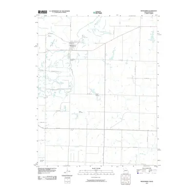
2010 Map of Mindenmines
USGS Topo · Published 2010About this map
Mindenmines anchors this portion of the Missouri-Kansas borderlands, where the residential grid meets the open agricultural expanses of the Cherokee Plains. The map reveals a landscape defined by local water management and small-town infrastructure, with several significant impoundments including Gardner Farms Lake Dam and Moss Lake Dam controlling the flow of local tributaries. For those tracing local heritage, the inclusion of the Mindenmines Post Office and two distinct burial grounds—Yale Cemetery to the northwest and Mindenmines Cemetery to the south—provides critical fixed points for identifying early 21st-century property and family locations.
Find a feature on this map
31 named features on this map. Tap any name to fly to it.
Don’t see what you’re looking for? This feature index may not catch every label — zoom into the map to look around manually.
Map Details
Editions of this 2010 Mindenmines Map
This is the sole edition of this map. No revisions or reprints were ever made.
Other maps of this area

1884 · Fort Scott
USGS Topo · 1:125,000

1886 · Nevada
USGS Topo · 1:125,000

1886 · Joplin
USGS Topo · 1:125,000

1886 · Fort Scott
USGS Topo · 1:125,000

1886 · Carthage
USGS Topo · 1:125,000

1893 · Fort Scott
USGS Topo · 1:125,000

1894 · Nevada
USGS Topo · 1:125,000

1894 · Joplin
USGS Topo · 1:125,000

1894 · Carthage
USGS Topo · 1:125,000

1945 · Pittsburg
USGS Topo · 1:62,500