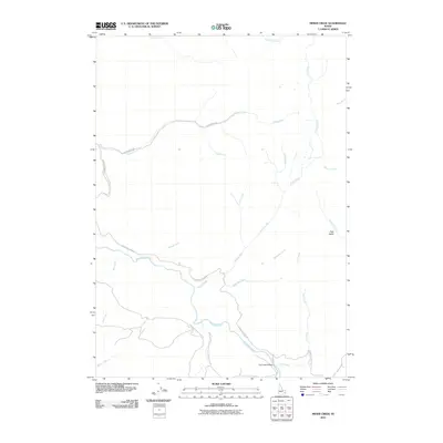
2010 Map of Miner Creek
USGS Topo · Published 2010About this map
The Blackfoot River winds through this Idaho landscape, serving as the central drainage for a network of named mountain streams. This 2010 survey by the U.S. Geological Survey captures a region defined by its watercourses and seasonal basins, including High Basin and the confluence of Miner Creek and Menassa Creek. The limited infrastructure of the period is concentrated along the river corridor, where Blackfoot River Rd provides access to the interior.
Find a feature on this map
22 named features on this map. Tap any name to fly to it.
Don’t see what you’re looking for? This feature index may not catch every label — zoom into the map to look around manually.
Map Details
Editions of this 2010 Miner Creek Map
This is the sole edition of this map. No revisions or reprints were ever made.
Other maps of this area

1918 · Paradise Valley
USGS Topo · 1:62,500

1924 · Ammon
USGS Topo · 1:62,500

1950 · Goshen
USGS Topo · 1:24,000

1951 · Higham Peak
USGS Topo · 1:24,000

1952 · Goshen
USGS Topo · 1:24,000

1955 · Yandell Springs
USGS Topo · 1:62,500

1955 · Idaho Falls
USGS Topo · 1:250,000

1955 · Driggs
USGS Topo · 1:250,000

1958 · Driggs
USGS Topo · 1:250,000

1958 · Idaho Falls
USGS Topo · 1:250,000