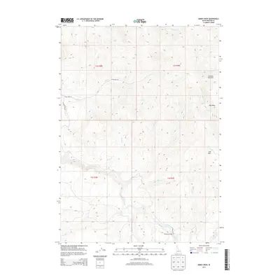
2013 Map of Miner Creek
USGS Topo · Published 2013About this map
The Blackfoot River winds through the southern reaches of this Bingham County landscape, carving a valley between the prominent peaks of the Blackfoot Mountains. This 2013 survey illustrates a high-elevation terrain defined by complex drainage networks, where Miner Cr, Menassa Cr, and Short Cr flow toward the river's main channel. The presence of named landmarks like Trail Creek Bridge and high-altitude features such as High Basin and Blue Ridge suggests a region utilized for ranching, recreation, and water management. Transportation is limited to rugged corridor roads including Trail Creek Rd and Cedar Creek Rd, which trace the contours of the land. The map provides a detailed look at the rural section lines of Township 2 South and Township 3 South, offering a precise view of the topography before any modern intensive development.
Find a feature on this map
27 named features on this map. Tap any name to fly to it.
Don’t see what you’re looking for? This feature index may not catch every label — zoom into the map to look around manually.
Map Details
Editions of this 2013 Miner Creek Map
This is the sole edition of this map. No revisions or reprints were ever made.
Other maps of this area

1918 · Paradise Valley
USGS Topo · 1:62,500

1924 · Ammon
USGS Topo · 1:62,500

1950 · Goshen
USGS Topo · 1:24,000

1951 · Higham Peak
USGS Topo · 1:24,000

1952 · Goshen
USGS Topo · 1:24,000

1955 · Yandell Springs
USGS Topo · 1:62,500

1955 · Idaho Falls
USGS Topo · 1:250,000

1955 · Driggs
USGS Topo · 1:250,000

1958 · Driggs
USGS Topo · 1:250,000

1958 · Idaho Falls
USGS Topo · 1:250,000