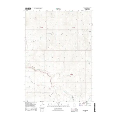
2017 Map of Miner Creek
USGS Topo · Published 2017About this map
The Blackfoot River winds through this high-elevation corner of Bingham County, tracing a path beneath the Blackfoot Mountains and the prominent Blue Ridge. This landscape is defined by its drainage network, with numerous seasonal and perennial flows like Miner Creek, Trail Cr, and Mackelroy Cr cutting through the terrain. The presence of the Trail Creek Bridge and the winding Blackfoot River Rd indicates the primary corridors of movement through these uplands.
Find a feature on this map
28 named features on this map. Tap any name to fly to it.
Don’t see what you’re looking for? This feature index may not catch every label — zoom into the map to look around manually.
Map Details
Editions of this 2017 Miner Creek Map
This is the sole edition of this map. No revisions or reprints were ever made.
Other maps of this area

1918 · Paradise Valley
USGS Topo · 1:62,500

1924 · Ammon
USGS Topo · 1:62,500

1950 · Goshen
USGS Topo · 1:24,000

1951 · Higham Peak
USGS Topo · 1:24,000

1952 · Goshen
USGS Topo · 1:24,000

1955 · Yandell Springs
USGS Topo · 1:62,500

1955 · Idaho Falls
USGS Topo · 1:250,000

1955 · Driggs
USGS Topo · 1:250,000

1958 · Driggs
USGS Topo · 1:250,000

1958 · Idaho Falls
USGS Topo · 1:250,000