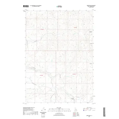
2020 Map of Miner Creek
USGS Topo · Published 2020About this map
The Blackfoot Mountains dominate this high-elevation landscape in Idaho, where the Blackfoot River carves a path through the southwestern corner. This area is defined by a dense network of mountain drainages, including Mackelroy Cr in the north and the complex system of Trail Cr and Rawlins Cr to the southeast. The geography suggests a region primarily used for timber, grazing, and transit, marked by landmarks like Blue Ridge and High Basin.
Find a feature on this map
28 named features on this map. Tap any name to fly to it.
Don’t see what you’re looking for? This feature index may not catch every label — zoom into the map to look around manually.
Map Details
Editions of this 2020 Miner Creek Map
This is the sole edition of this map. No revisions or reprints were ever made.
Other maps of this area

1918 · Paradise Valley
USGS Topo · 1:62,500

1924 · Ammon
USGS Topo · 1:62,500

1950 · Goshen
USGS Topo · 1:24,000

1951 · Higham Peak
USGS Topo · 1:24,000

1952 · Goshen
USGS Topo · 1:24,000

1955 · Yandell Springs
USGS Topo · 1:62,500

1955 · Idaho Falls
USGS Topo · 1:250,000

1955 · Driggs
USGS Topo · 1:250,000

1958 · Driggs
USGS Topo · 1:250,000

1958 · Idaho Falls
USGS Topo · 1:250,000