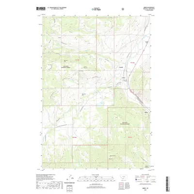
2020 Map of Miner
USGS Topo · Published 2020About this map
The Yellowstone River flows through the eastern portion of this landscape, carving through Yankee Jim Canyon and opening into the broad Paradise Valley. This 2020 map documents the enduring infrastructure of Park County, where the historic Old Yellowstone Trl and the Yankee Jim Toll N follow the river's path, tracing routes long established for transit into the mountain interior. Small settlements like Carbella and Miner sit along these corridors, serving as gateways to the high country of the Gallatin National Forest.
Find a feature on this map
49 named features on this map. Tap any name to fly to it.
Don’t see what you’re looking for? This feature index may not catch every label — zoom into the map to look around manually.
Map Details
Editions of this 2020 Miner Map
This is the sole edition of this map. No revisions or reprints were ever made.
Other maps of this area

1888 · Three Forks
USGS Topo · 1:250,000

1891 · Livingston
USGS Topo · 1:250,000

1893 · Livingston
USGS Topo · 1:250,000

1894 · Three Forks
USGS Topo · 1:250,000

1895 · Three Forks
USGS Topo · 1:250,000

1947 · Bozeman
USGS Topo · 1:250,000

1948 · Bozeman
USGS Topo · 1:250,000

1955 · Bozeman
USGS Topo · 1:250,000

1955 · Garnet Mountain
USGS Topo · 1:62,500

1955 · Fridley Peak
USGS Topo · 1:62,500