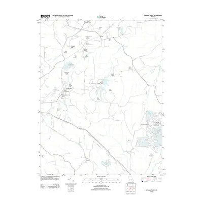
2012 Map of Mineral Point
USGS Topo · Published 2012About this map
Mineral Point stands as a focal point in this Washington County landscape, where the legacy of regional industry is etched into the terrain through numerous dams and tailings sites. The industrial footprint is evident in structures like the Cadet Mine Tailings Dam and Old Washer Number 1 Dam, reflecting a history of mineral extraction. Residential and recreational patterns shift toward the east at Terre Du Lac, a community defined by its cluster of private lakes including Lac Bourbon and Lac Capri. Local genealogy is well-preserved across the quadrangle, with family-named landmarks such as the Aquilla Cole Cemetery and Jarvis Farm Cemetery marking the early settlements of Fountain Farm and French Town. The infrastructure of the early 21st century is anchored by the Washington County Airport and the Potosi Lookout Tower near Hopewell.
Find a feature on this map
97 named features on this map. Tap any name to fly to it.
Don’t see what you’re looking for? This feature index may not catch every label — zoom into the map to look around manually.
Map Details
Editions of this 2012 Mineral Point Map
This is the sole edition of this map. No revisions or reprints were ever made.
Other maps of this area

1901 · De Soto
USGS Topo · 1:125,000

1905 · Bonneterre
USGS Topo · 1:62,500

1906 · Potosi
USGS Topo · 1:62,500

1931 · De Soto SE
USGS Topo · 1:24,000

1937 · Tiff
USGS Topo · 1:24,000

1939 · Tiff
USGS Topo · 1:24,000

1946 · Richwoods
USGS Topo · 1:62,500

1948 · Richwoods
USGS Topo · 1:62,500

1949 · Saint Louis
USGS Topo · 1:250,000

1949 · Rolla
USGS Topo · 1:250,000