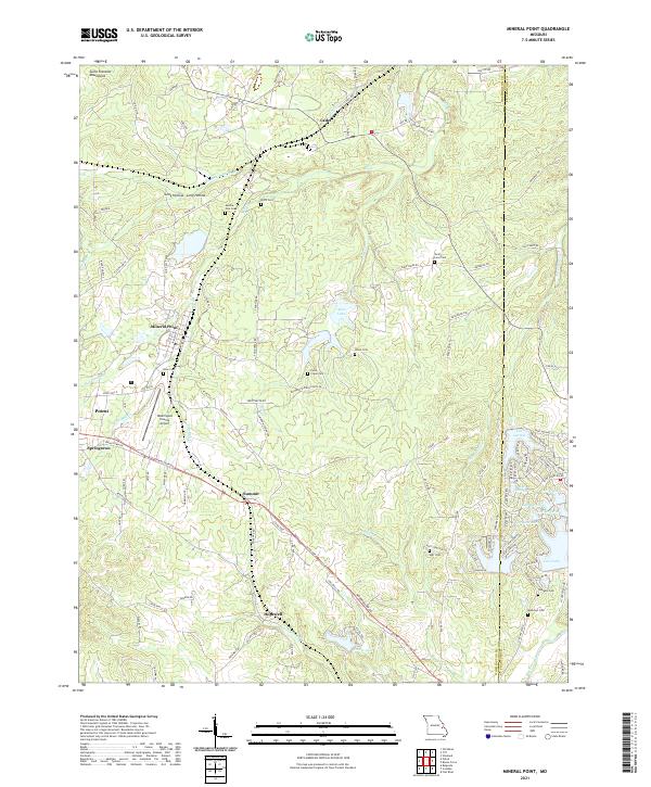
2021 Map of Mineral Point
USGS Topo · Published 2021About this map
Mineral Point and Potosi anchor this landscape along the eastern edge of the Saint Francois Mountains. The map reveals a dense network of country roads and family cemeteries, suggesting a long history of rural settlement. Genealogists will find numerous small burial grounds such as Aquilla Cole Cem, Brick Cem, and the Jarvis Farm Cem scattered throughout the hills.
Find a feature on this map
127 named features on this map. Tap any name to fly to it.
Don’t see what you’re looking for? This feature index may not catch every label — zoom into the map to look around manually.
Map Details
Editions of this 2021 Mineral Point Map
This is the sole edition of this map. No revisions or reprints were ever made.
Other maps of this area

1901 · De Soto
USGS Topo · 1:125,000

1905 · Bonneterre
USGS Topo · 1:62,500

1906 · Potosi
USGS Topo · 1:62,500

1931 · De Soto SE
USGS Topo · 1:24,000

1937 · Tiff
USGS Topo · 1:24,000

1939 · Tiff
USGS Topo · 1:24,000

1946 · Richwoods
USGS Topo · 1:62,500

1948 · Richwoods
USGS Topo · 1:62,500

1949 · Saint Louis
USGS Topo · 1:250,000

1949 · Rolla
USGS Topo · 1:250,000