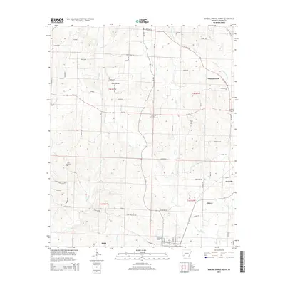
2014 Map of Mineral Springs North
USGS Topo · Published 2014About this map
Blue Bayou meanders through this portion of Howard County, defining a landscape of creek drainages and rural settlements north of Mineral Springs. This 2014 survey documents the established network of county roads and highways that connect small communities like Temperanceville and Shiloh. The map reveals a high density of small family and community burial grounds, including Graves Cem, Bluff Springs Cem, and County Line Cem, which serve as vital markers for local genealogical research. In the southeastern corner, the outskirts of Nashville begin to appear, while the Glenn Winchester Airport stands as a modern focal point near Mineral Springs. Evidence of the region's long history is preserved in names like Old Military Rd, reflecting early transit corridors that predated the modern alignment of US 278 Hwy W and Us-371 W.
Find a feature on this map
90 named features on this map. Tap any name to fly to it.
Don’t see what you’re looking for? This feature index may not catch every label — zoom into the map to look around manually.
Map Details
Editions of this 2014 Mineral Springs North Map
This is the sole edition of this map. No revisions or reprints were ever made.
Other maps of this area

1906 · Caddo Gap
USGS Topo · 1:125,000

1913 · De Queen
USGS Topo · 1:125,000

1950 · Mcalester
USGS Topo · 1:250,000

1950 · Ben Lomond
USGS Topo · 1:24,000

1951 · Ben Lomond
USGS Topo · 1:24,000

1951 · Mineral Springs South
USGS Topo · 1:24,000

1951 · Columbus
USGS Topo · 1:24,000

1951 · Mineral Springs North
USGS Topo · 1:24,000

1951 · Nashville
USGS Topo · 1:24,000

1951 · Silver Ridge
USGS Topo · 1:24,000