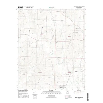
2017 Map of Mineral Springs North
USGS Topo · Published 2017About this map
Mineral Springs and the surrounding Howard County countryside appear here in a landscape defined by small rural settlements and a network of winding creeks. The terrain is marked by historical points of interest for genealogists, including Graves Cem and Temperanceville Cem, alongside the community of Temperanceville. Local aviation is represented by Glenn Winchester Airport near the southern edge of the sheet, while the rural economy is evidenced by namesake water bodies like Blue Bayou and the meandering path of Dillard Cr. Smaller enclaves such as Midway are connected by a web of local roads, including Yorks Chapel Rd and Old Center Point Rd, reflecting a region where traditional settlement patterns endure alongside modern infrastructure.
Find a feature on this map
70 named features on this map. Tap any name to fly to it.
Don’t see what you’re looking for? This feature index may not catch every label — zoom into the map to look around manually.
Map Details
Editions of this 2017 Mineral Springs North Map
This is the sole edition of this map. No revisions or reprints were ever made.
Other maps of this area

1906 · Caddo Gap
USGS Topo · 1:125,000

1913 · De Queen
USGS Topo · 1:125,000

1950 · Mcalester
USGS Topo · 1:250,000

1950 · Ben Lomond
USGS Topo · 1:24,000

1951 · Ben Lomond
USGS Topo · 1:24,000

1951 · Mineral Springs South
USGS Topo · 1:24,000

1951 · Columbus
USGS Topo · 1:24,000

1951 · Mineral Springs North
USGS Topo · 1:24,000

1951 · Nashville
USGS Topo · 1:24,000

1951 · Silver Ridge
USGS Topo · 1:24,000