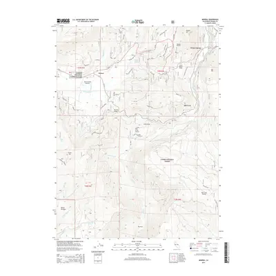
2015 Map of Mineral
USGS Topo · Published 2015About this map
Mineral and Morgan Springs serve as the primary human settlements in this high-elevation landscape, where the volcanic heritage of the region is evident in the complex topography. Situated at the western gateway to Lassen Volcanic National Park, the area is defined by massive features like Morgan Mtn and Turner Mtn, alongside distinct geological formations such as the depression known as Hole in the Ground.
Find a feature on this map
36 named features on this map. Tap any name to fly to it.
Don’t see what you’re looking for? This feature index may not catch every label — zoom into the map to look around manually.
Map Details
Editions of this 2015 Mineral Map
This is the sole edition of this map. No revisions or reprints were ever made.
Other maps of this area

1886 · Lassen Peak
USGS Topo · 1:250,000

1892 · Lassen Peak
USGS Topo · 1:250,000

1894 · Lassen Peak
USGS Topo · 1:250,000

1935 · Paynes Creek
USGS Topo · 1:96,000

1941 · Mineral
USGS Topo · 1:125,000

1955 · Westwood
USGS Topo · 1:250,000

1956 · Lassen Peak
USGS Topo · 1:62,500

1956 · Mt. Harkness
USGS Topo · 1:62,500

1958 · Westwood
USGS Topo · 1:250,000

1958 · Jonesville
USGS Topo · 1:62,500