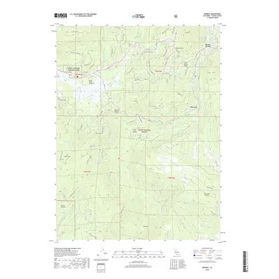
2018 Map of Mineral
USGS Topo · Published 2018About this map
Mineral and the high meadows of Lassen Volcanic National Park anchor this survey of the southern Cascades. The landscape is defined by the headwaters of the Battle and Mill Creek systems, which drain through glacial and volcanic features like Battle Creek Meadows and the expansive Mill Creek Plateau. Local history is visible in the network of forest routes and fire lookouts, including the Turner Mtn Lookout and the Morgan Radio Relay, which overlook the high-elevation valleys.
Find a feature on this map
54 named features on this map. Tap any name to fly to it.
Don’t see what you’re looking for? This feature index may not catch every label — zoom into the map to look around manually.
Map Details
Editions of this 2018 Mineral Map
This is the sole edition of this map. No revisions or reprints were ever made.
Other maps of this area

1886 · Lassen Peak
USGS Topo · 1:250,000

1892 · Lassen Peak
USGS Topo · 1:250,000

1894 · Lassen Peak
USGS Topo · 1:250,000

1935 · Paynes Creek
USGS Topo · 1:96,000

1941 · Mineral
USGS Topo · 1:125,000

1955 · Westwood
USGS Topo · 1:250,000

1956 · Lassen Peak
USGS Topo · 1:62,500

1956 · Mt. Harkness
USGS Topo · 1:62,500

1958 · Westwood
USGS Topo · 1:250,000

1958 · Jonesville
USGS Topo · 1:62,500