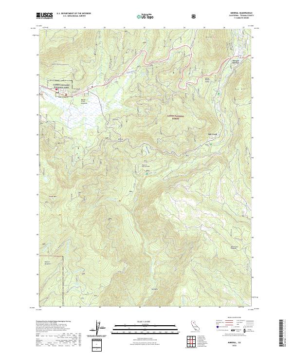
2022 Map of Mineral
USGS Topo · Published 2022About this map
Morgan Springs and the surrounding high-altitude meadows define this 2022 look at the volcanic landscape of Tehama County. The map details a transition from the protected terrain of Lassen Volcanic National Park into the managed lands of the Lassen National Forest. Extensive road networks like the Conard Grove Loop and Turner Mtn Loop provide access to seasonal features like Belfast Meadows and Battle Creek Meadows. The presence of White Sulphur Spring and Tamarack Spring suggests the geothermal and hydrologic activity characteristic of the region. Significant landmarks such as the Mineral Summit, Ski Hill, and the curiously named Hole in the Ground offer specific points of interest for researchers tracking recreational development and natural formations in the southern Cascades.
Find a feature on this map
40 named features on this map. Tap any name to fly to it.
Don’t see what you’re looking for? This feature index may not catch every label — zoom into the map to look around manually.
Map Details
Editions of this 2022 Mineral Map
This is the sole edition of this map. No revisions or reprints were ever made.
Other maps of this area

1886 · Lassen Peak
USGS Topo · 1:250,000

1892 · Lassen Peak
USGS Topo · 1:250,000

1894 · Lassen Peak
USGS Topo · 1:250,000

1935 · Paynes Creek
USGS Topo · 1:96,000

1941 · Mineral
USGS Topo · 1:125,000

1955 · Westwood
USGS Topo · 1:250,000

1956 · Lassen Peak
USGS Topo · 1:62,500

1956 · Mt. Harkness
USGS Topo · 1:62,500

1958 · Westwood
USGS Topo · 1:250,000

1958 · Jonesville
USGS Topo · 1:62,500