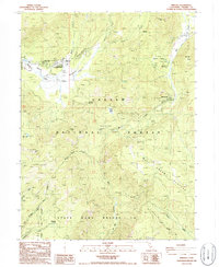
1986 Map of Mineral
USGS Topo · Published 1986About this map
The Lassen Volcanic Nat Park Headquarters serves as a gateway to the high-elevation terrain of Tehama County in the mid-1980s. This survey illustrates a landscape dominated by the Lassen National Forest and the State Game Refuge 1-G, where small settlements like Mineral and Mill Creek act as localized hubs for travelers and park staff. The topography is defined by significant drainage systems, including South Fork Battle Creek and the headwaters of Antelope Creek, which carve through the Plateau region.
Find a feature on this map
38 named features on this map. Tap any name to fly to it.
Don’t see what you’re looking for? This feature index may not catch every label — zoom into the map to look around manually.
Map Details
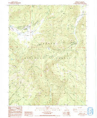
Editions of this 1986 Mineral Map
2 editions found
Other maps of this area

1886 · Lassen Peak
USGS Topo · 1:250,000

1892 · Lassen Peak
USGS Topo · 1:250,000

1894 · Lassen Peak
USGS Topo · 1:250,000

1935 · Paynes Creek
USGS Topo · 1:96,000

1941 · Mineral
USGS Topo · 1:125,000

1955 · Westwood
USGS Topo · 1:250,000

1956 · Lassen Peak
USGS Topo · 1:62,500

1956 · Mt. Harkness
USGS Topo · 1:62,500

1958 · Westwood
USGS Topo · 1:250,000

1958 · Jonesville
USGS Topo · 1:62,500