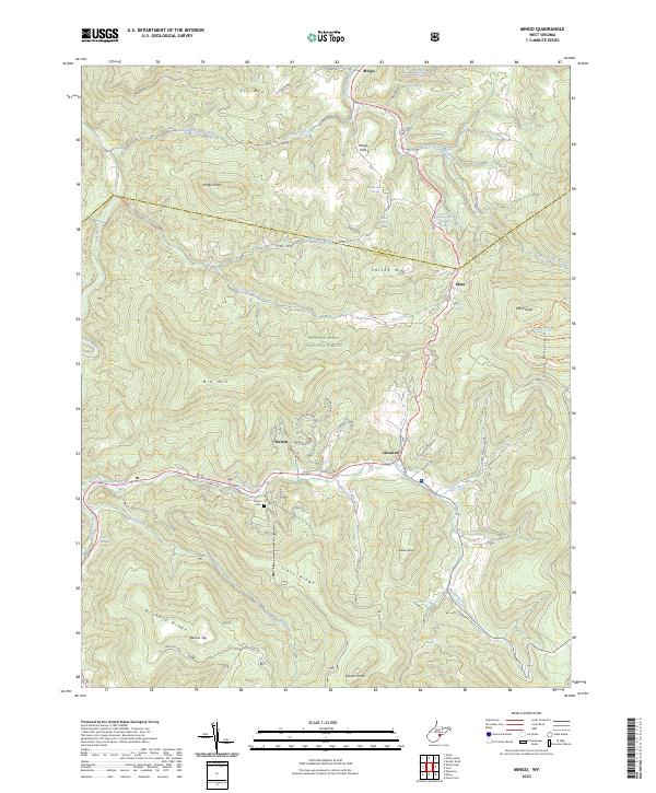
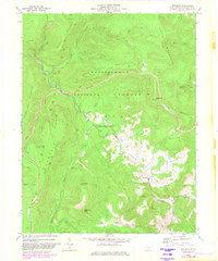
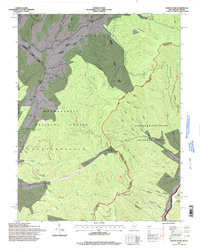
2023 Map of Mingo
USGS Topo · Published 2023About this map
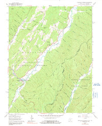
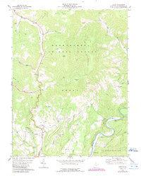
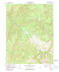
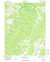
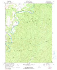
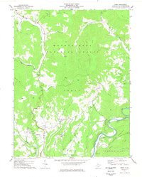
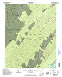
The high mountain divides of Pocahontas Co and Randolph Co define this landscape within the Monongahela National Forest. The map centers on the headwaters of major Appalachian drainage systems, where the Tygart Valley River and Elk River begin their descent from prominent peaks like Mingo Knob and Cheat Mountain. Small upland settlements and homesteads are clustered along the winding corridor of CO RTE 219, including the communities of Mingo, Mingo Flats, and Mace.
Find a feature on this map
47 named features on this map. Tap any name to fly to it.
Don’t see what you’re looking for? This feature index may not catch every label — zoom into the map to look around manually.
Map Details
Editions of this 2023 Mingo Map
This is the sole edition of this map. No revisions or reprints were ever made.
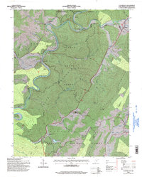
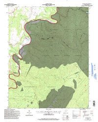
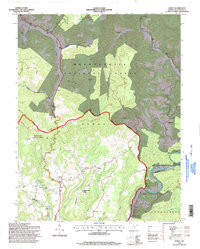
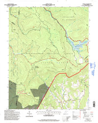
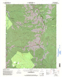
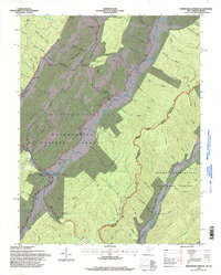
Historical Maps of Upper Mingo Through Time
40 maps found
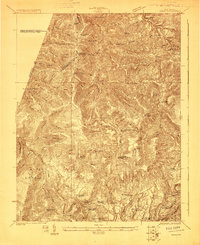
1923 Mingo
Pocahontas County, WV
1925 Mingo
Pocahontas County, WV
1961 Paddy Knob
Pocahontas County, WV
1962 Minnehaha Springs
Pocahontas County, WV
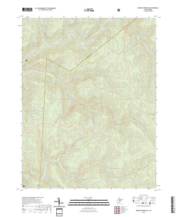
1967 Webster Springs SE
Pocahontas County, WV
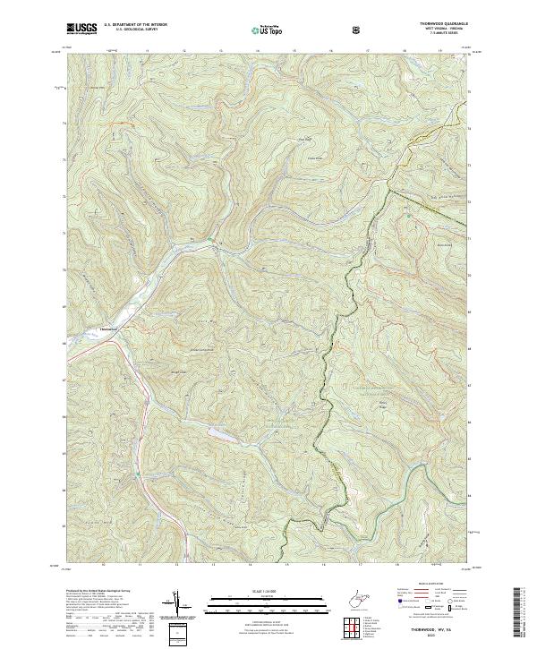
1969 Thornwood
Pocahontas County, WV
1973 Lobelia
Pocahontas County, WV
1974 Edray
Pocahontas County, WV
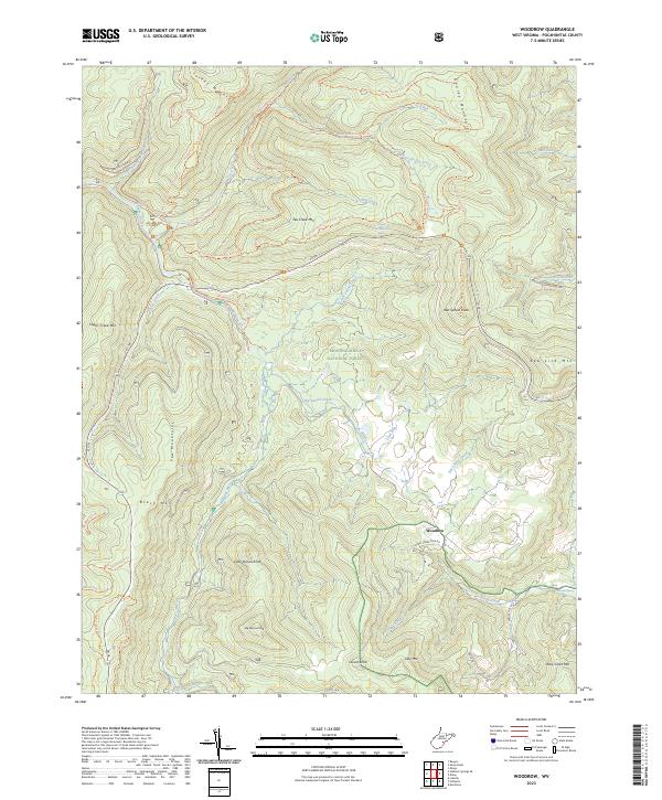
1974 Woodrow
Pocahontas County, WV
1977 Clover Lick
Pocahontas County, WV
1977 Denmar
Pocahontas County, WV
1977 Edray
Pocahontas County, WV
1977 Lake Sherwood
Pocahontas County, WV
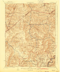
1977 Mingo
Pocahontas County, WV
1977 Sharp Knob
Pocahontas County, WV
1977 Woodrow
Pocahontas County, WV
1995 Clover Lick
Pocahontas County, WV
1995 Denmar
Pocahontas County, WV
1995 Edray
Pocahontas County, WV
1995 Lake Sherwood
Pocahontas County, WV
1995 Lobelia
Pocahontas County, WV
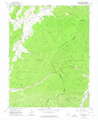
1995 Mingo
Pocahontas County, WV
1995 Minnehaha Springs
Pocahontas County, WV
1995 Paddy Knob
Pocahontas County, WV
1995 Sharp Knob
Pocahontas County, WV
1995 Thornwood
Pocahontas County, WV

1995 Webster Springs SE
Pocahontas County, WV
1995 Woodrow
Pocahontas County, WV
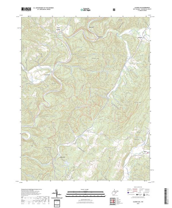
2023 Clover Lick
Pocahontas County, WV
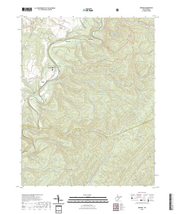
2023 Denmar
Pocahontas County, WV
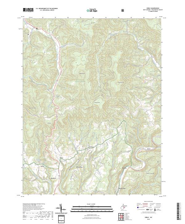
2023 Edray
Pocahontas County, WV
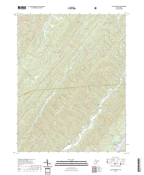
2023 Lake Sherwood
Pocahontas County, WV
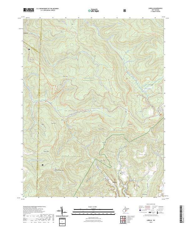
2023 Lobelia
Pocahontas County, WV
2023 Mingo
Pocahontas County, WV
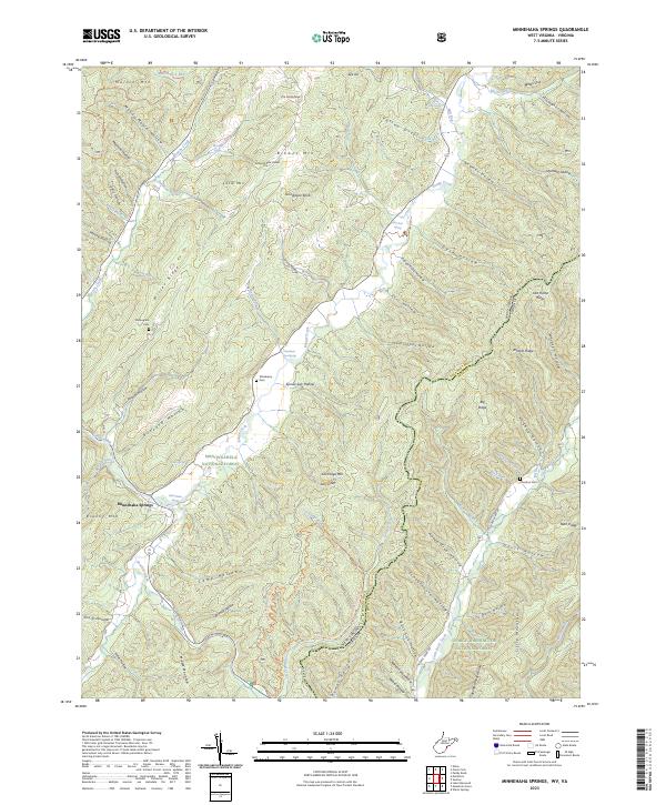
2023 Minnehaha Springs
Pocahontas County, WV
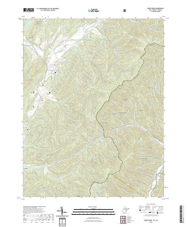
2023 Paddy Knob
Pocahontas County, WV
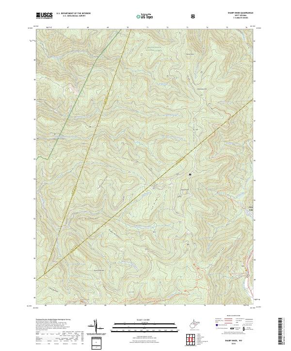
2023 Sharp Knob
Pocahontas County, WV
2023 Thornwood
Pocahontas County, WV
2023 Webster Springs SE
Pocahontas County, WV
2023 Woodrow
Pocahontas County, WV