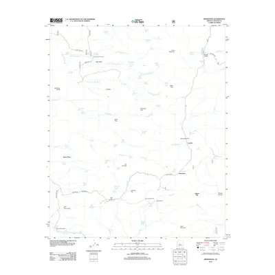
2012 Map of Minnehaha
USGS Topo · Published 2012About this map
Silver Mountain and Horse Mountain dominate the skyline of this high-desert Yavapai County landscape, providing a backdrop for a series of historic ranching and mining sites. The settlement at Minnehaha is the primary hub, situated near Minnehaha Flat and Lapham. The map reveals a reliance on isolated water sources and local industry, as seen in the presence of the Chilean Mill and various livestock infrastructure like the ML Windmill and Green Tank Windmill.
Find a feature on this map
84 named features on this map. Tap any name to fly to it.
Don’t see what you’re looking for? This feature index may not catch every label — zoom into the map to look around manually.
Map Details
Editions of this 2012 Minnehaha Map
This is the sole edition of this map. No revisions or reprints were ever made.
Other maps of this area

1887 · Prescott
USGS Topo · 1:250,000

1892 · Prescott
USGS Topo · 1:250,000

1903 · Bradshaw Mountains
USGS Topo · 1:125,000

1903 · Congress
USGS Topo · 1:125,000

1904 · Congress
USGS Topo · 1:125,000

1947 · Crown King
USGS Topo · 1:62,500

1947 · Mt. Union
USGS Topo · 1:62,500

1947 · Kirkland
USGS Topo · 1:62,500

1947 · Wagoner
USGS Topo · 1:62,500

1948 · Crown King
USGS Topo · 1:63,360