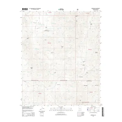
2014 Map of Minnehaha
USGS Topo · Published 2014About this map
Silver Mtn and the southern reaches of the Bradshaw Mountains anchor this 2014 survey of the Prescott National Forest in Arizona. The landscape is defined by its industrial and residential history, featuring the Chilean Mill and several dispersed settlements including Minnehaha, Lapham, and Paxton Place. The topographical detail captures a complex drainage system where Minnehaha Cr and Cherry Cr navigate around prominent landforms like Thompson Butte and Baldy Trap.
Find a feature on this map
86 named features on this map. Tap any name to fly to it.
Don’t see what you’re looking for? This feature index may not catch every label — zoom into the map to look around manually.
Map Details
Editions of this 2014 Minnehaha Map
This is the sole edition of this map. No revisions or reprints were ever made.
Other maps of this area

1887 · Prescott
USGS Topo · 1:250,000

1892 · Prescott
USGS Topo · 1:250,000

1903 · Bradshaw Mountains
USGS Topo · 1:125,000

1903 · Congress
USGS Topo · 1:125,000

1904 · Congress
USGS Topo · 1:125,000

1947 · Crown King
USGS Topo · 1:62,500

1947 · Mt. Union
USGS Topo · 1:62,500

1947 · Kirkland
USGS Topo · 1:62,500

1947 · Wagoner
USGS Topo · 1:62,500

1948 · Crown King
USGS Topo · 1:63,360