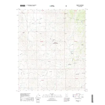
2018 Map of Minnehaha
USGS Topo · Published 2018About this map
Prescott National Forest dominates this high-altitude landscape in the southern Bradshaw Mountains, where industrial mining history meets a network of remote mountain springs. The map centers on the small settlement of Minnehaha and the nearby Lapham site, situated along Minnehaha Cr. Evidence of the area's gold and silver mining legacy is found in features like the Chilean Mill and the proximity of Silver Mtn and Pay Dirt Spring.
Find a feature on this map
92 named features on this map. Tap any name to fly to it.
Don’t see what you’re looking for? This feature index may not catch every label — zoom into the map to look around manually.
Map Details
Editions of this 2018 Minnehaha Map
This is the sole edition of this map. No revisions or reprints were ever made.
Other maps of this area

1887 · Prescott
USGS Topo · 1:250,000

1892 · Prescott
USGS Topo · 1:250,000

1903 · Bradshaw Mountains
USGS Topo · 1:125,000

1903 · Congress
USGS Topo · 1:125,000

1904 · Congress
USGS Topo · 1:125,000

1947 · Crown King
USGS Topo · 1:62,500

1947 · Mt. Union
USGS Topo · 1:62,500

1947 · Kirkland
USGS Topo · 1:62,500

1947 · Wagoner
USGS Topo · 1:62,500

1948 · Crown King
USGS Topo · 1:63,360