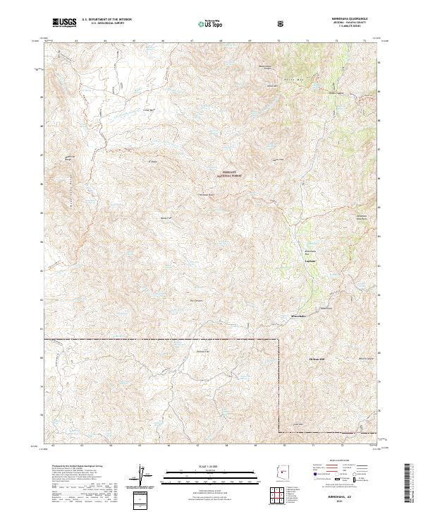
2021 Map of Minnehaha
USGS Topo · Published 2021About this map
Prescott National Forest dominates this Yavapai County terrain, where high-altitude ridges and canyons define the landscape of the southern Bradshaw Mountains. The map reveals a history of extraction and sparse settlement centered around Minnehaha and the nearby Lapham. The presence of the Chilean Mill on the eastern edge of Johnson Flat points to the area's mining heritage, likely associated with gold or silver processing in these steep drainages.
Find a feature on this map
96 named features on this map. Tap any name to fly to it.
Don’t see what you’re looking for? This feature index may not catch every label — zoom into the map to look around manually.
Map Details
Editions of this 2021 Minnehaha Map
This is the sole edition of this map. No revisions or reprints were ever made.
Other maps of this area

1887 · Prescott
USGS Topo · 1:250,000

1892 · Prescott
USGS Topo · 1:250,000

1903 · Bradshaw Mountains
USGS Topo · 1:125,000

1903 · Congress
USGS Topo · 1:125,000

1904 · Congress
USGS Topo · 1:125,000

1947 · Crown King
USGS Topo · 1:62,500

1947 · Mt. Union
USGS Topo · 1:62,500

1947 · Kirkland
USGS Topo · 1:62,500

1947 · Wagoner
USGS Topo · 1:62,500

1948 · Crown King
USGS Topo · 1:63,360