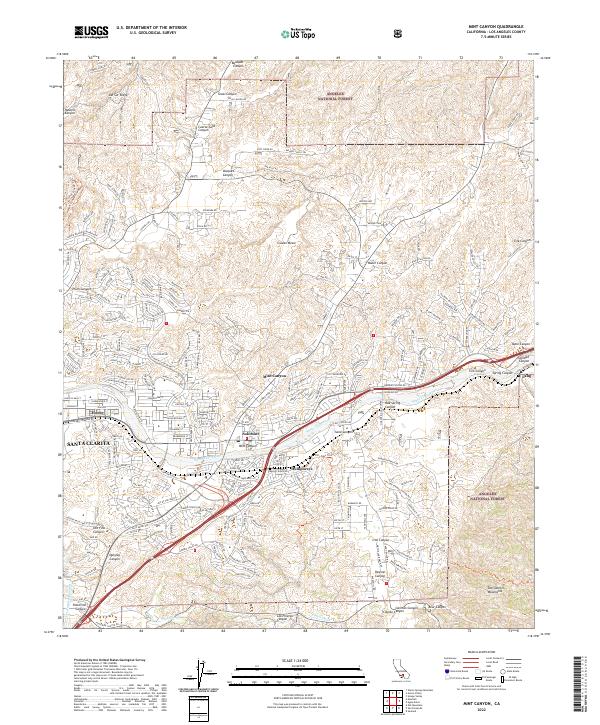
2022 Map of Mint Canyon
USGS Topo · Published 2022About this map
The Santa Clara River valley forms the central corridor of this modern landscape, where the northern reaches of Santa Clarita meet the rugged foothills of the San Gabriel Mountains. The map documents the dense suburban expansion around Honby and Solemint, contrasted against the protected terrain of the Angeles National Forest. Critical infrastructure defines the region's development, notably the path of the Metrolink rail line and the historic Los Angeles Aqueduct winding through the western canyons. Canyons such as Placerita Canyon and Mint Canyon serve as natural gateways between the growing urban center and the high ridges of Del Sur Ridge. The layout of modern neighborhoods like those along Golden Valley Rd illustrates the significant topographic challenges overcome by recent civil engineering, while the surviving names of older settlements like Humphreys and Lang preserve the area's early rail and ranching history.
Find a feature on this map
55 named features on this map. Tap any name to fly to it.
Don’t see what you’re looking for? This feature index may not catch every label — zoom into the map to look around manually.
Map Details
Editions of this 2022 Mint Canyon Map
This is the sole edition of this map. No revisions or reprints were ever made.
Other maps of this area

1900 · Fernando
USGS Topo · 1:62,500

1901 · Southern California Sheet No. 1
USGS Topo · 1:250,000

1903 · Tejon
USGS Topo · 1:125,000

1903 · Camulos
USGS Topo · 1:125,000

1903 · Santa Susana
USGS Topo · 1:62,500

1904 · Southern California Sheet No. 1
USGS Topo · 1:250,000

1915 · Elizabeth Lake
USGS Topo · 1:125,000

1917 · Elizabeth Lake
USGS Topo · 1:125,000

1925 · Sylmar
USGS Topo · 1:24,000

1928 · Sylmar
USGS Topo · 1:24,000