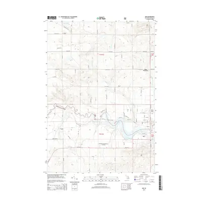
2014 Map of Mio
USGS Topo · Published 2014About this map
The Au Sable River winds through the heart of this Oscoda County landscape, dominated by the sprawling acreage of the Huron National Forest. The settlement of Mio sits on the southern banks of the river, just downstream from the Mio Dam Pond, serving as a primary hub for the region's transport and utility infrastructure. Further north, the Biggs Settlement provides a secondary point of community history along the junction of M-33 and E Kneeland Rd.
Find a feature on this map
77 named features on this map. Tap any name to fly to it.
Don’t see what you’re looking for? This feature index may not catch every label — zoom into the map to look around manually.
Map Details
Editions of this 2014 Mio Map
This is the sole edition of this map. No revisions or reprints were ever made.
Other maps of this area

1949 · Lewiston
USGS Topo · 1:62,500

1950 · Comstock Hills
USGS Topo · 1:24,000

1951 · Comstock Hills
USGS Topo · 1:24,000

1954 · Traverse City
USGS Topo · 1:250,000

1955 · Comins
USGS Topo · 1:62,500

1958 · Traverse City
USGS Topo · 1:250,000

1963 · Luzerne
USGS Topo · 1:24,000

1963 · Red Oak
USGS Topo · 1:24,000

1972 · Mio
USGS Topo · 1:24,000

1972 · Mack Lake
USGS Topo · 1:24,000