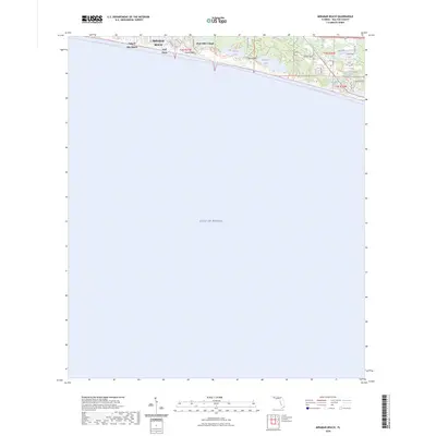
2024 Map of Miramar Beach
USGS Topo · Published 2024About this map
Miramar Beach and Tang-O-Mar Beach occupy the narrow coastal strip of Walton County, where modern residential development meets the preserved landscape of the Florida Panhandle. The map reveals a string of unique coastal dune lakes—Morris Lake, Campbell Lake, and Stalworth Lake—separated from the vast Gulf of Mexico by the elevations of Topsail Hill and Topsail Bluff. These rare freshwater systems are linked by a network of recreation-oriented paths, including the Timpoochee Trl and the offshore Florida Circumnavigational Paddling Trl. In the eastern section, neighborhood development around Gulf Pines and Four Mile Village is dense with local connectors like Slalom Way and Cll Escada, contrasting with the open protected areas to the west. Small interior water features like Peace Pond Spring offer a look at the local hydrology that supports this shoreline community.
Find a feature on this map
26 named features on this map. Tap any name to fly to it.
Don’t see what you’re looking for? This feature index may not catch every label — zoom into the map to look around manually.
Map Details
Editions of this 2024 Miramar Beach Map
This is the sole edition of this map. No revisions or reprints were ever made.
Other maps of this area

1935 · Villa Tasso
USGS Topo · 1:48,000

1936 · Point Washington
USGS Topo · 1:48,000

1938 · Villa Tasso
USGS Topo · 1:62,500

1939 · Point Washington
USGS Topo · 1:62,500

1956 · Villa Tasso
USGS Topo · 1:62,500

1957 · Pensacola
USGS Topo · 1:250,000

1959 · Pensacola
USGS Topo · 1:250,000

1960 · Pensacola
USGS Topo · 1:250,000
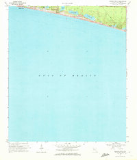
1970 · Miramar Beach
USGS Topo · 1:24,000
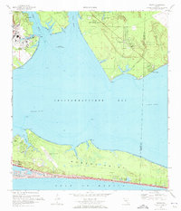
1970 · Destin
USGS Topo · 1:24,000