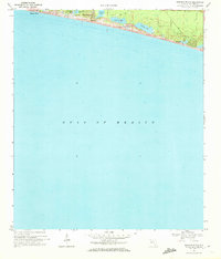
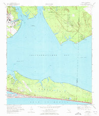
1970 Map of Miramar Beach
USGS Topo · Published 1972About this map
Miramar Beach serves as the focal point for this coastal survey of Walton County, documenting a stretch of the Emerald Coast during a period of emerging development. The map details a specialized landscape where the massive Gulf of Mexico meets a string of rare coastal dune lakes, including Morris Lake, Fuller Lake, and Campbell Lake. These freshwater bodies are separated from the salt water by prominent Sand Dunes and elevations like Topsail Hill. The settlement pattern at this time is concentrated along the immediate shoreline, represented by Gulf Pines and Four Mile Village. A network of unpaved Jeep Trails and a localized Trailer Park suggest a transition toward a vacation-oriented economy. The topographical detail highlights Topsail Bluff, providing a clear view of the natural terrain before the extensive modern construction that characterizes the region today.
Find a feature on this map
16 named features on this map. Tap any name to fly to it.
Don’t see what you’re looking for? This feature index may not catch every label — zoom into the map to look around manually.
Map Details
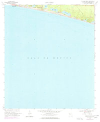
Editions of this 1970 Miramar Beach Map
2 editions found
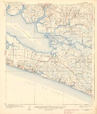
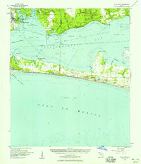
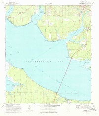
Other maps of this area

1935 · Villa Tasso
USGS Topo · 1:48,000

1936 · Point Washington
USGS Topo · 1:48,000

1938 · Villa Tasso
USGS Topo · 1:62,500
1939 · Point Washington
USGS Topo · 1:62,500
1956 · Villa Tasso
USGS Topo · 1:62,500

1957 · Pensacola
USGS Topo · 1:250,000

1959 · Pensacola
USGS Topo · 1:250,000

1960 · Pensacola
USGS Topo · 1:250,000
1970 · Destin
USGS Topo · 1:24,000
1970 · Freeport
USGS Topo · 1:24,000