Loading...
Loading map...2025 Map of Miramar Beach
USGS Topo · Published 2025About this map
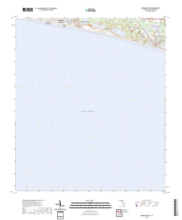
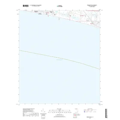
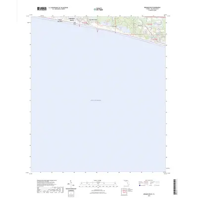
Topsail Hill Preserve State Park dominates the eastern coastal landscape of this quadrangle, preserving a stretch of shoreline where Morris Lake and Campbell Lake sit just behind the dunes. These rare coastal dune lakes are joined further east by Stalworth Lake, creating a unique hydrological environment where freshwater sources like Crystal Spring and Peace Pond meet the coastal edge.
Find a feature on this map
27 named features on this map. Tap any name to fly to it.
Don’t see what you’re looking for? This feature index may not catch every label — zoom into the map to look around manually.
Map Details
Date Portrayed2025
Date Published2025
PublisherU.S. Geological Survey
Map TypeTopographic
Scale1:24,000
Physical Dimensions24 x 29 inches
Editions of this 2025 Miramar Beach Map
This is the sole edition of this map. No revisions or reprints were ever made.
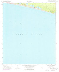
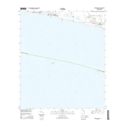
Historical Maps of Tang-O-Mar Beach Through Time
7 maps found

Featured Locations
Source Details
SourceU.S. Geological Survey
CopyrightPublic Domain