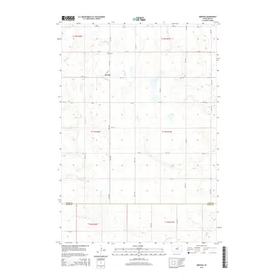
2015 Map of Miranda
USGS Topo · Published 2015About this map
Miranda sits at the intersection of Pine St and 361st Ave, representing a classic South Dakota prairie settlement structured around the Public Land Survey System grid. This 2015 snapshot of the landscape captures the region's agricultural character, where the township boundaries of t118n r68w and t117n r67w meet. The terrain is defined by a series of seasonal drainage patterns, most notably the winding course of Bryant Cr and Medicine Cr, which weave through the section lines and create natural variations in the otherwise orderly farm plots. Genealogists and local historians can locate the Miranda Cem just north of the town center, a key landmark for tracing family roots in this part of Faulk County. The map also delineates the county line between Faulk Co and Hand Co, showing how political boundaries align with the section-line roads like 171st St.
Find a feature on this map
28 named features on this map. Tap any name to fly to it.
Don’t see what you’re looking for? This feature index may not catch every label — zoom into the map to look around manually.
Map Details
Editions of this 2015 Miranda Map
This is the sole edition of this map. No revisions or reprints were ever made.
Other maps of this area

1899 · Northville
USGS Topo · 1:125,000

1899 · Redfield
USGS Topo · 1:125,000

1951 · Orient
USGS Topo · 1:24,000

1951 · Polo
USGS Topo · 1:24,000

1952 · Faulkton East
USGS Topo · 1:24,000

1953 · Huron
USGS Topo · 1:250,000

1954 · Aberdeen
USGS Topo · 1:250,000

1954 · Huron
USGS Topo · 1:250,000

1956 · Aberdeen
USGS Topo · 1:250,000

1966 · Cresbard SE
USGS Topo · 1:24,000