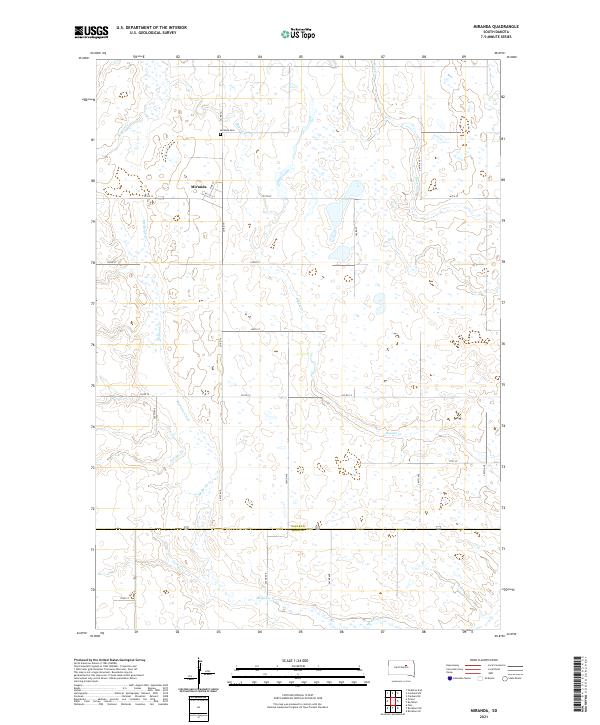
2021 Map of Miranda
USGS Topo · Published 2021About this map
Miranda sits at the intersection of Co Rd 12 and Co Rd 15, serving as a focal point for the rural agricultural landscape of Faulk County. This 2021 survey illustrates a region defined by its sections and townships, where a systematic grid of gravel roads like 167th St and 361st Ave provides access to scattered homesteads and open prairie. The local geography is etched by meandering waterways, notably Medicine Creek and Bryant Creek, which wind through the township lines of T118N and T117N. Genealogists and local historians will find the Miranda Cem north of the main settlement, a primary site for tracing the area's heritage. The southern boundary of the map follows the line between Faulk Co and Hand Co, where Medicine Creek continues its southward course through a landscape of prairie potholes and wetlands typical of the Missouri Coteau region.
Find a feature on this map
30 named features on this map. Tap any name to fly to it.
Don’t see what you’re looking for? This feature index may not catch every label — zoom into the map to look around manually.
Map Details
Editions of this 2021 Miranda Map
This is the sole edition of this map. No revisions or reprints were ever made.
Other maps of this area

1899 · Northville
USGS Topo · 1:125,000

1899 · Redfield
USGS Topo · 1:125,000

1951 · Orient
USGS Topo · 1:24,000

1951 · Polo
USGS Topo · 1:24,000

1952 · Faulkton East
USGS Topo · 1:24,000

1953 · Huron
USGS Topo · 1:250,000

1954 · Aberdeen
USGS Topo · 1:250,000

1954 · Huron
USGS Topo · 1:250,000

1956 · Aberdeen
USGS Topo · 1:250,000

1966 · Cresbard SE
USGS Topo · 1:24,000