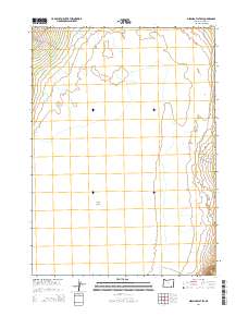
2014 Map of Miranda Flat SW
USGS Topo · Published 2014About this map
Alvord Desert dominates this section of Harney County, its vast, flat expanse of cracked earth defining the eastern high desert landscape. The terrain is marked by a stark contrast between the arid playa and the life-giving waters of Big Alvord Cr., which flows from the west toward the basin floor. This 2014 survey documents a largely roadless area, with only E Steens Rd skirting the northwestern corner of the quadrangle. The lack of settlements or commercial development emphasizes the isolation of this region, where the primary features are the natural drainage patterns and the township and range boundaries that grid this corner of Oregon. For those interested in the environmental history of the Great Basin, this map illustrates the precise interface where mountain runoff meets the desert floor.
Find a feature on this map
7 named features on this map. Tap any name to fly to it.
Don’t see what you’re looking for? This feature index may not catch every label — zoom into the map to look around manually.
Map Details
Editions of this 2014 Miranda Flat SW Map
This is the sole edition of this map. No revisions or reprints were ever made.
Other maps of this area

1955 · Adel
USGS Topo · 1:250,000

1957 · Adel
USGS Topo · 1:250,000

1958 · Adel
USGS Topo · 1:250,000

1962 · Adel
USGS Topo · 1:250,000

1968 · Wildhorse Lake
USGS Topo · 1:24,000

1968 · Alvord Hot Springs
USGS Topo · 1:24,000

1971 · Andrews
USGS Topo · 1:24,000

1981 · Tule Springs
USGS Topo · 1:24,000

1981 · Tule Springs NE
USGS Topo · 1:24,000

1981 · Miranda Flat SW
USGS Topo · 1:24,000