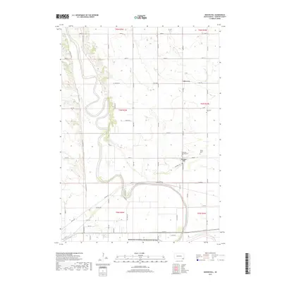
2017 Map of Mission Hill
USGS Topo · Published 2017About this map
The James River snakes through the South Dakota landscape, defining the rural character of this region just north of its confluence with the Missouri National Recreation River. This area is characterized by the tight-knit settlement of Mission Hill and the community of Valleyview, connected by an organized grid of section-line roads like 447th Ave and 308th St. The agricultural heritage is evident in the presence of historic burial grounds, including the Mission Hill Congregational Cem and the Vangen Church Cem, which serve as permanent markers of early local families and congregational life. Small tributaries such as Beaver Cr feed into the river valley, while the southern boundary follows the protected waters of the national recreation area, where the terrain transitions from upland plains to the broader river bottoms.
Find a feature on this map
54 named features on this map. Tap any name to fly to it.
Don’t see what you’re looking for? This feature index may not catch every label — zoom into the map to look around manually.
Map Details
Editions of this 2017 Mission Hill Map
This is the sole edition of this map. No revisions or reprints were ever made.
Other maps of this area

1898 · Parker
USGS Topo · 1:125,000

1955 · Sioux City
USGS Topo · 1:250,000

1955 · Sioux Falls
USGS Topo · 1:250,000

1957 · Gayville
USGS Topo · 1:24,000

1957 · Mayfield
USGS Topo · 1:24,000

1957 · Mission Hill
USGS Topo · 1:24,000

1957 · Jamesville
USGS Topo · 1:24,000

1958 · Sioux City
USGS Topo · 1:250,000

1958 · Sioux Falls
USGS Topo · 1:250,000

1959 · Sioux City
USGS Topo · 1:250,000