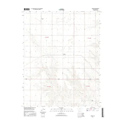
2016 Map of Missler
USGS Topo · Published 2016About this map
Missler and the high plains of Meade County are defined by a strictly surveyed grid and the natural drainage patterns of the southern Kansas landscape. The settlement of Missler sits at the center of the sheet, where a long east-west thoroughfare meets the section lines of the township and range system. This 2016 survey illustrates how the landscape is segmented into productive agricultural plots, interrupted only by the winding course of Spring Cr as it carves through the terrain. To the south, the topography becomes more complex around Hart Draw and Big Springs, where the land drops away into a network of draws and breaks. The inclusion of Jenkinson Airport in the northern portion of the map highlights the modern infrastructure required to support this expansive rural territory, while road labels like N Carthage hint at the local transit network connecting these remote townships.
Find a feature on this map
18 named features on this map. Tap any name to fly to it.
Don’t see what you’re looking for? This feature index may not catch every label — zoom into the map to look around manually.
Map Details
Editions of this 2016 Missler Map
This is the sole edition of this map. No revisions or reprints were ever made.
Other maps of this area

1892 · Meade
USGS Topo · 1:125,000

1955 · Dodge City
USGS Topo · 1:250,000

1958 · Dodge City
USGS Topo · 1:250,000

1959 · Dodge City
USGS Topo · 1:250,000

1962 · Irish Flats NE
USGS Topo · 1:24,000

1963 · Plains
USGS Topo · 1:24,000

1963 · Kismet NE
USGS Topo · 1:24,000

1963 · Lake Larrabee
USGS Topo · 1:24,000

1963 · Meade
USGS Topo · 1:24,000

1963 · Missler
USGS Topo · 1:24,000