2021 Map of Missouri City
USGS Topo · Published 2021About this map
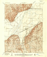
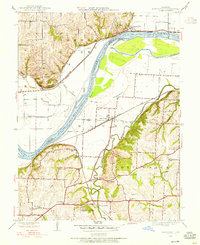
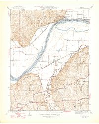
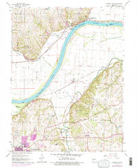
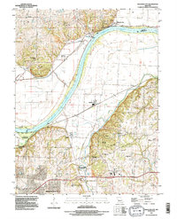
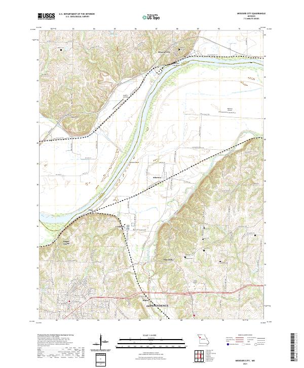
The Missouri River winds through the heart of this region, separating the steep bluffs of Clay County from the alluvial plains of Jackson County. In the north, Missouri City sits perched near the Missouri City Bend, while the southern bank is defined by the agricultural settlements of Atherton and Blue Mills. The terrain transitions from the prominent heights of Nebo Hill down to the lowlands surrounding Jackson Bend. This landscape is marked by several historical burial grounds, including the Keller Cem and Hudspeth Cem, alongside smaller communities like Eton and Cobbler. Transport and trade patterns are evident through the placement of Liberty Landing on the river and Martens Airport to the east, illustrating the ongoing importance of this river corridor for regional transit and aviation.
Find a feature on this map
119 named features on this map. Tap any name to fly to it.
Don’t see what you’re looking for? This feature index may not catch every label — zoom into the map to look around manually.
Map Details
Editions of this 2021 Missouri City Map
This is the sole edition of this map. No revisions or reprints were ever made.
Historical Maps of Independence Through Time
6 maps found