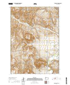
2020 Map of Mitchell Butte
USGS Topo · Published 2020About this map
Mitchell Butte stands as a prominent landmark in this corner of Malheur County, where the high desert terrain meets the managed waters of the eastern Oregon agricultural landscape. The 2020 survey reveals an intricate network of irrigation and water management features essential to the region, most notably the Rock Spring Siphon and the Rock Spring Cr system. To the east, the Owyhee River carves through the landscape, flanked by the Owyhee Bench and Lincoln Bench, illustrating the distinct terrace topography of the area.
Find a feature on this map
41 named features on this map. Tap any name to fly to it.
Don’t see what you’re looking for? This feature index may not catch every label — zoom into the map to look around manually.
Map Details
Editions of this 2020 Mitchell Butte Map
This is the sole edition of this map. No revisions or reprints were ever made.
Other maps of this area

1906 · Mitchell Butte
USGS Topo · 1:125,000

1955 · Boise
USGS Topo · 1:250,000

1958 · Boise
USGS Topo · 1:250,000

1962 · Boise
USGS Topo · 1:250,000
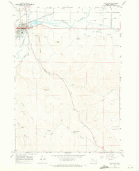
1967 · Vale East
USGS Topo · 1:24,000
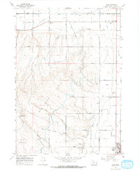
1967 · Cairo
USGS Topo · 1:24,000
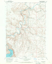
1967 · Owyhee Dam
USGS Topo · 1:24,000
1967 · Vale West
USGS Topo · 1:24,000
1967 · Double Mtn
USGS Topo · 1:24,000
1967 · Adrian
USGS Topo · 1:24,000